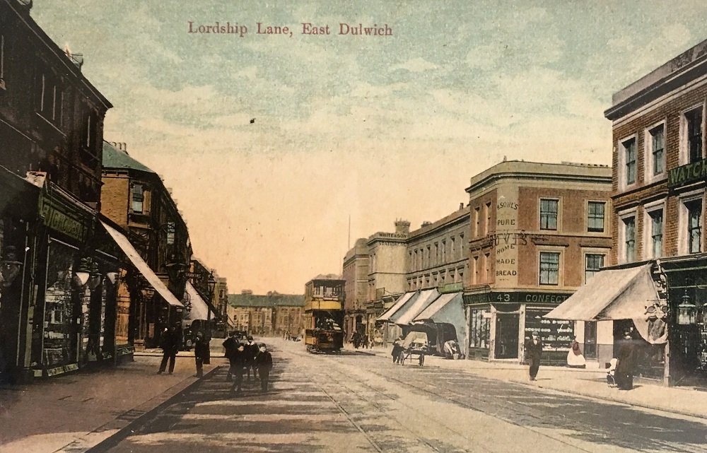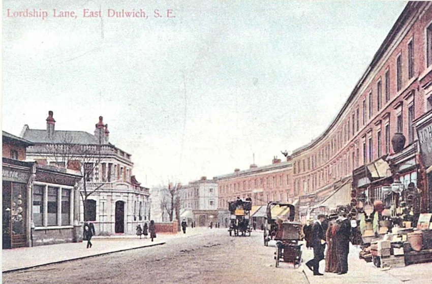
Shown on Roque's 1741 map of London, Lordship Lane runs from Goose Green to Dulwich Common on the boundary line between the Manors of Dulwich and Friern. Until the mid-nineteenth century both sides of the road were mostly fields used for grazing cattle but there were also plant nurseries and the occasional large house. This illustrated online talk by local historian and architect Ian McInnes will examine the road's development from the 1840s to the 1960s through its shops, pubs, industry, churches, housing, and transport.
Tickets are £5 per person, proceeds go to St Christopher’s Hospice. This talk will be held on Zoom.